
%20and%20Management%20Plans.png)
.png)


We support your projects
Our goal is to provide you with the best services for your needs


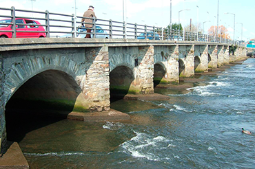
Multidisciplinary teams comprising of specialists across ten industry sectors, we have the expertise necessary to grapple with challenging assignments.
Our business is built on relationships, and our clients will always be our top priority.
International Award-Winning Engineering Consultants who deliver ground breaking solutions at the forefront of industry best practice.
Our Commitment to Net Zero
Ayesa is committed to becoming a net zero engineering consultancy by 2040
Stay on top of the latest developments, appointments, awards and more across all our offices.
.png)
On 19th October 2023, ByrneLooby will rebrand to Ayesa
ByrneLooby will officially adopt the name of its parent company, Ayesa, a global engineering and technology services provider.
Cultivating a culture in which individual differences and the contributions of our staff are recognised and valued.
Multidisciplinary team comprising of specialists across Ireland, UK and the Middle East.
We would love to hear from you. Please fill in the quick contact form below.
