


.png)


Coastal Defence | A New Mitigation Tool
COASTLINES CONTINUE TO BE PLACED IN JEOPARDY FROM CLIMATE CHANGE AND ONGOING RESIDENTIAL AND INFRASTRUCTURE DEVELOPMENT
William O'Connor, and his geotechnical team investigate PSI (persistent scattered interferometry) to monitor coastal erosion and recommend its application as a coastal defence management tool.
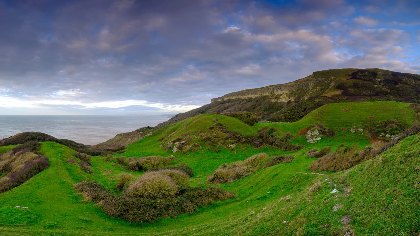
The aim of the study was to monitor coastal erosion and landslide processes using Persistent Scatterer Interferometry (PSI). Studies as part of this paper were located at a coastal chalk landslide complex at Ventnor on the Isle of Wight, in the UK. This land is part of a larger tract along the southern coast of the Isle of Wight, known as ‘The Undercliff’. The team investigated the effectiveness of PSI in monitoring coastal erosion and defence and as a tool to alert against potential landslides.
The Undercliff is a unique coastal landscape: formed by deep-seated mass movement, with origins traced back through the Holocene and Late Quaternary (or the last 11,700 years of the Earth’s history after the final major ice age), when sea level and climatic conditions were very different from today. Landslide records at Ventnor date back to the 1800s and due to the ground stratigraphy and coastal location, it is likely slippages have been occurring for a very long time. More recently, a landslide in 2014 resulted in Undercliff Drive between Ventnor and Niton which is permanently closed down to residents and traffic, and in 2020, large cracks were found in the coastal wall supporting Belgrave Road with road closures and residential evacuations to ensure public safety at the area.
The ground model identified two distinct sections of the landslide. The upper section spans from Newport Road to Park Avenue, and the lower section from Park Avenue to the shoreline. The basal failure surface in the upper section is in the interface between the Gault Clay and Monk’s Bay Sandstone. The lower section is less well defined, with ongoing back-tilting of blocks of chalk debris, Upper Greensand and Gault Clay overlying Monk’s Bay Sandstone and Sandrock, resulting in movement from Ventnor Park to the beach. The upper section contributes to heaving along the crest of the lower section, and both sections are basal non-circular rotational.
The team analysed 4 years’ of data from the Sentinel-1 synthetic aperture radar (SAR) using Persistent Scatterer Interferometric Synthetic Aperture Radar methods. They then assessed and compared this data with rainfall data, historical ground investigation records and monitoring surveys carried out at Ventnor. In 2014, the Sentinel-1 mission was launched by the European Space Agency (ESA). With the objectives of Land and Ocean monitoring: Sentinel-1 is composed of two polar-orbiting satellites operating day and night, and can perform radar imaging, enabling them to acquire imagery regardless of the weather. These satellites are orbiting along the same trajectory but in opposing orbits (separated by 180 degrees), with a revisit time for a given location equating to 12 days per satellite or approximately 6 days for 2 satellites.
Interferometric Synthetic Aperture Radar (InSAR) is a remote sensing technique which uses the phase difference between two SAR images obtained from an orbiting antenna to determine displacement in the line of sight (LOS) and is capable of millimetre level accuracy. Displacement of a measurable feature (scatterer) in the images will affect the distance and timing of the backscattered signal being measured, and subsequently produce a measurable change in the SAR signal phase between images.
The aim of the study was to monitor coastal erosion and landslide processes using Persistent Scatterer Interferometry (PSI) by analysing a coastal chalk landslide complex at Ventnor to establish its effectiveness as a landslide and coastal defence management monitoring tool, and to assess whether PSI can be used to quantify and interpret ongoing natural geological processes. The method is a type of Differential InSAR (DInSAR) which reduces errors by utilising stable phase reflector points (known as Persistent Scatterers). The method is best applied to built-up areas with many reflector points, such as corners of houses, antennae, and infrastructure. The viewing geometry is shown below. The persistent scatterers observed by the satellites during the study period are shown in Figure 3. The spectrum is indicative of the direction of movement from the satellite, red meaning away (settlement) and blue meaning toward (heave). For a deep-seated, tiered, rotational landslide the results were as expected – settlement at the crest and heave at the toe. However, the displacements were measured in the LOS only and therefore not a true representation of ground movement.
Decomposition of viewing geometries to vertical and horizontal components (see the full paper for detailed description) allowed for direct comparison with previous ground-based studies, with the results aligning well. The reason for taking results from 2016 only for this sense check was due to a requirement to only accept Sentinel-1 SAR scenes captured at low tide, and 2016 had the greatest amount of usable data.
Developing New Ground Models
The paper also investigates the nature of ground movement parallel to the coastline, by using publicly available borehole records paired with PSI and allowed for the development of a new ground model to complement any existing ground models. No evidence of significant ground movement was observed along heavily protected sections of the coastline, suggesting coastal defences comprised of concrete aprons and rip rap appear to be an effective coastal management/landslide stabilisation tool, when compared to ‘rip rap’ alone – the stabilising mechanism likely being a combination of toe weighting and reduced erosion. A lag of approximately 13–20 days was observed between high rainfall events and subsequent peaks in ground displacement, which was shorter than a 29-day lag observed in a previous study of the landslide. However, it was noted that similar observations of prolonged rainfall resulting in prolonged displacements were also observed.
Monitoring of coastal landslides in urban areas
The study presents a method which can be readily applied for similar monitoring of coastal landslides in urban environments worldwide, even in cases with a dominantly N-S component on movement, as in Ventnor. The complementary approach of combining PSI analysis, historical ground investigations and ground monitoring survey data would be dependent on the availability of records from both local and private sources. The use of these direct survey/investigation methods allows for geomorphological interpretation of the PSI results.
Cost-Effective method for a wide range of uses
The result is a cost-effective method available to local authorities, asset managers and designers of coastal defences to monitoring landslides, owing to the open-source and continuous nature of InSAR data, and the capability to investigate large areas at ease.
The method is best applied to built-up areas where many persistent scatterers are present, and the method is generally unsuited to densely vegetated regions or shear rock cliffs, as the radar does not produce a coherent SAR image.
This summary of this paper and its findings is a collaboration between William O’Connor, ByrneLooby, an Ayesa Company in association with the Imperial College London, James Lawrence and Gosia Mider.
If you wish to view the full paper, please click here:
Further information
ByrneLooby is proud to be part of Ayesa. Ayesa has almost 6,000 staff members based in 20 countries around the globe. Ayesa's engineering work covers numerous fields with a market-leading international reputation in infrastructure, water conveyance and treatment systems, transport, marine, waste management, aeronautics and defence. Ayesa is also a consolidated technology consultancy, an expert in the digital transformation of large companies such as utilities and technological solutions for public institutions.
Siobhan Warfield-Beattie - ByrneLooby Senior Marketing Manager
SWarfield@ByrneLooby.com
Tel: +353 86 8372328